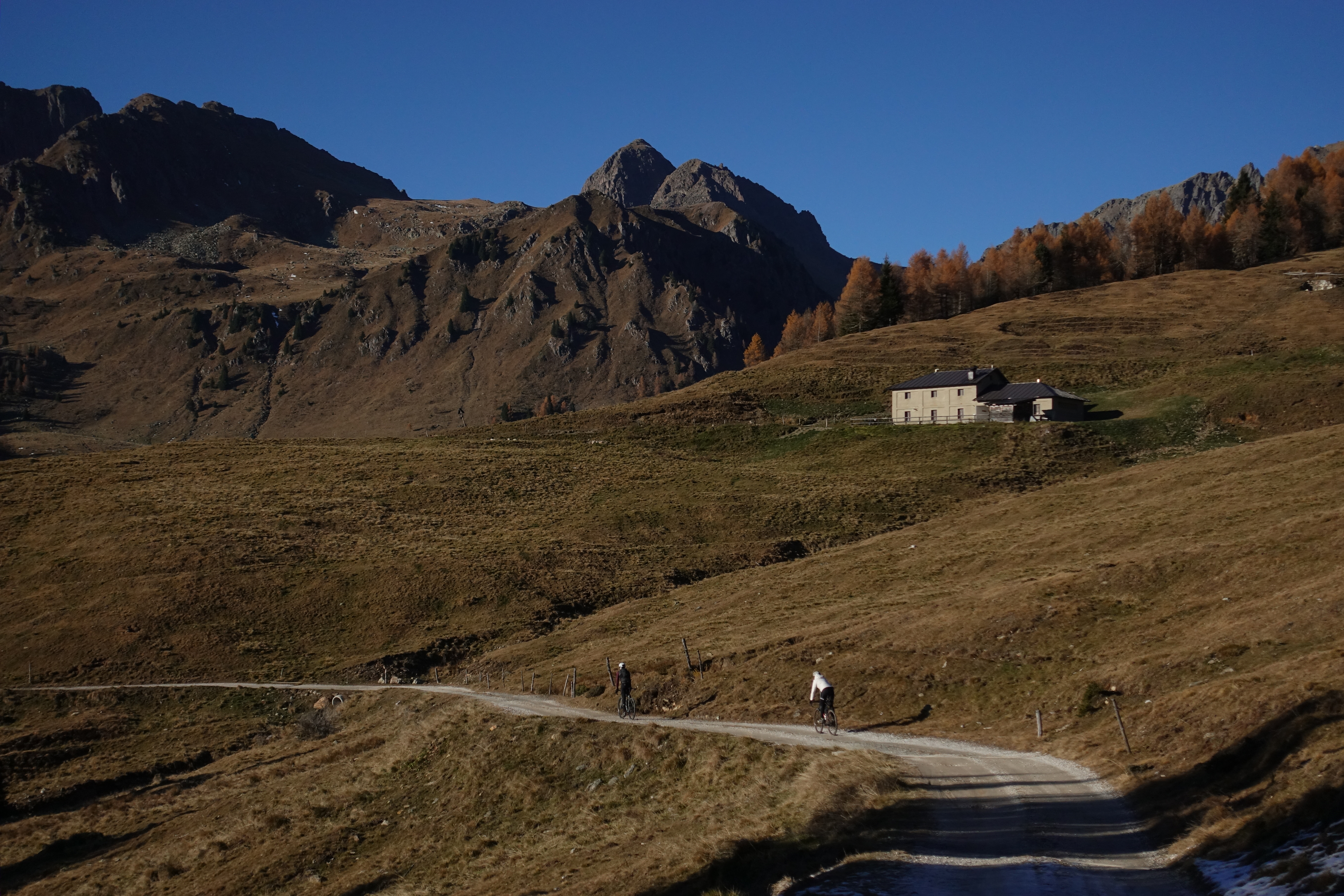
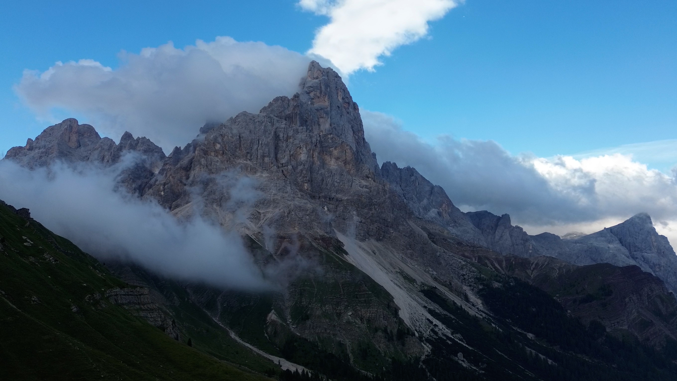
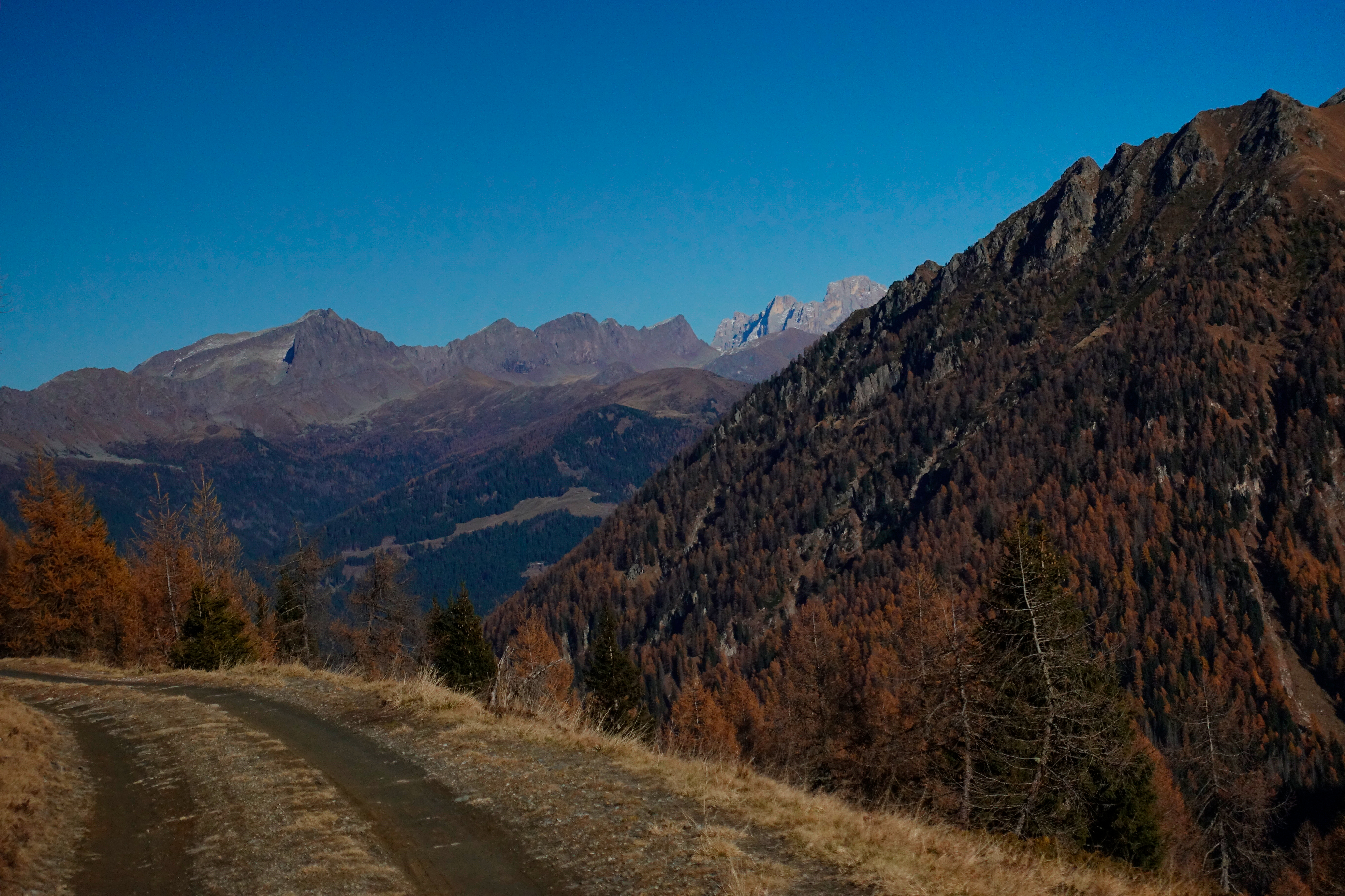
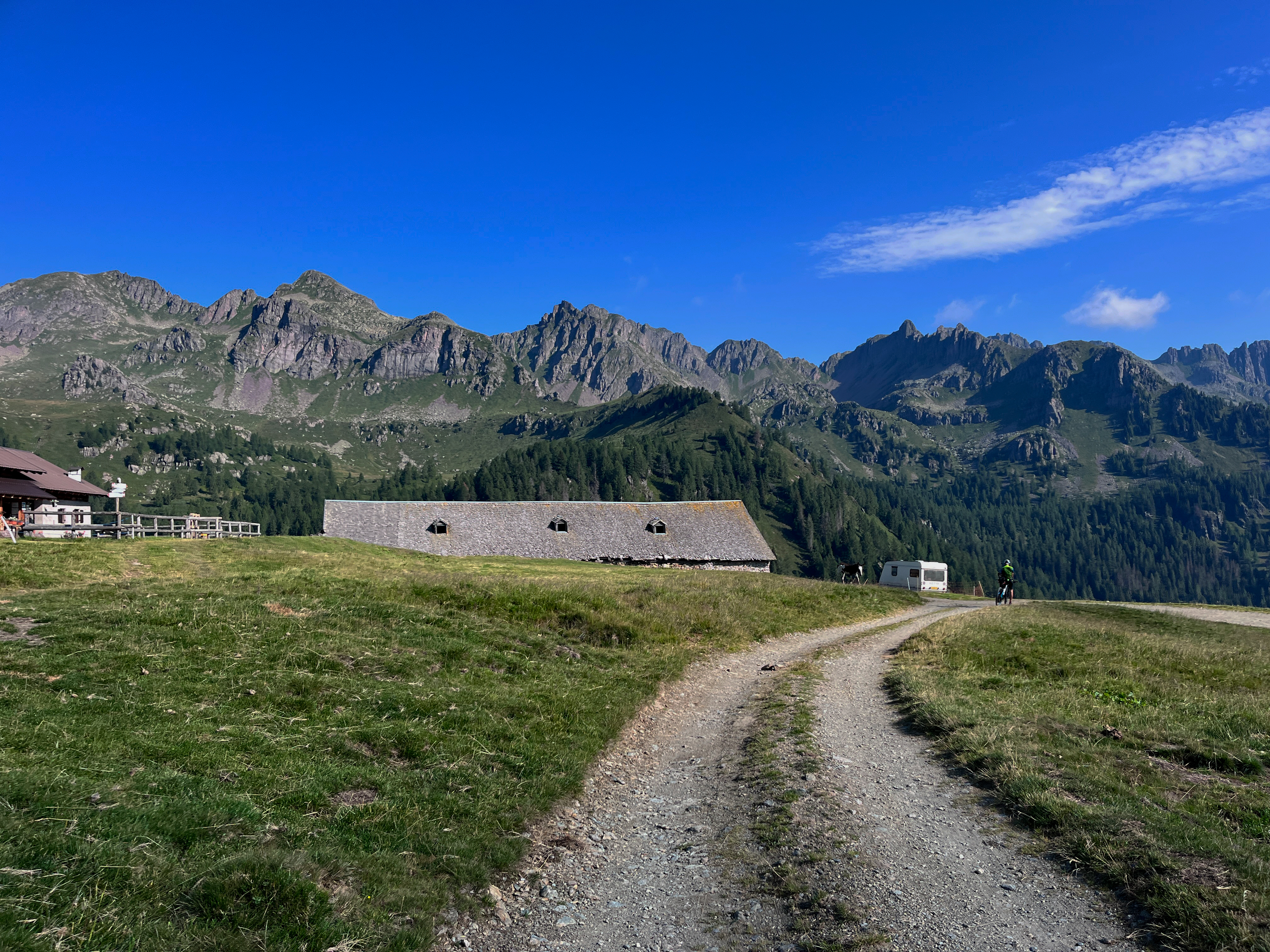
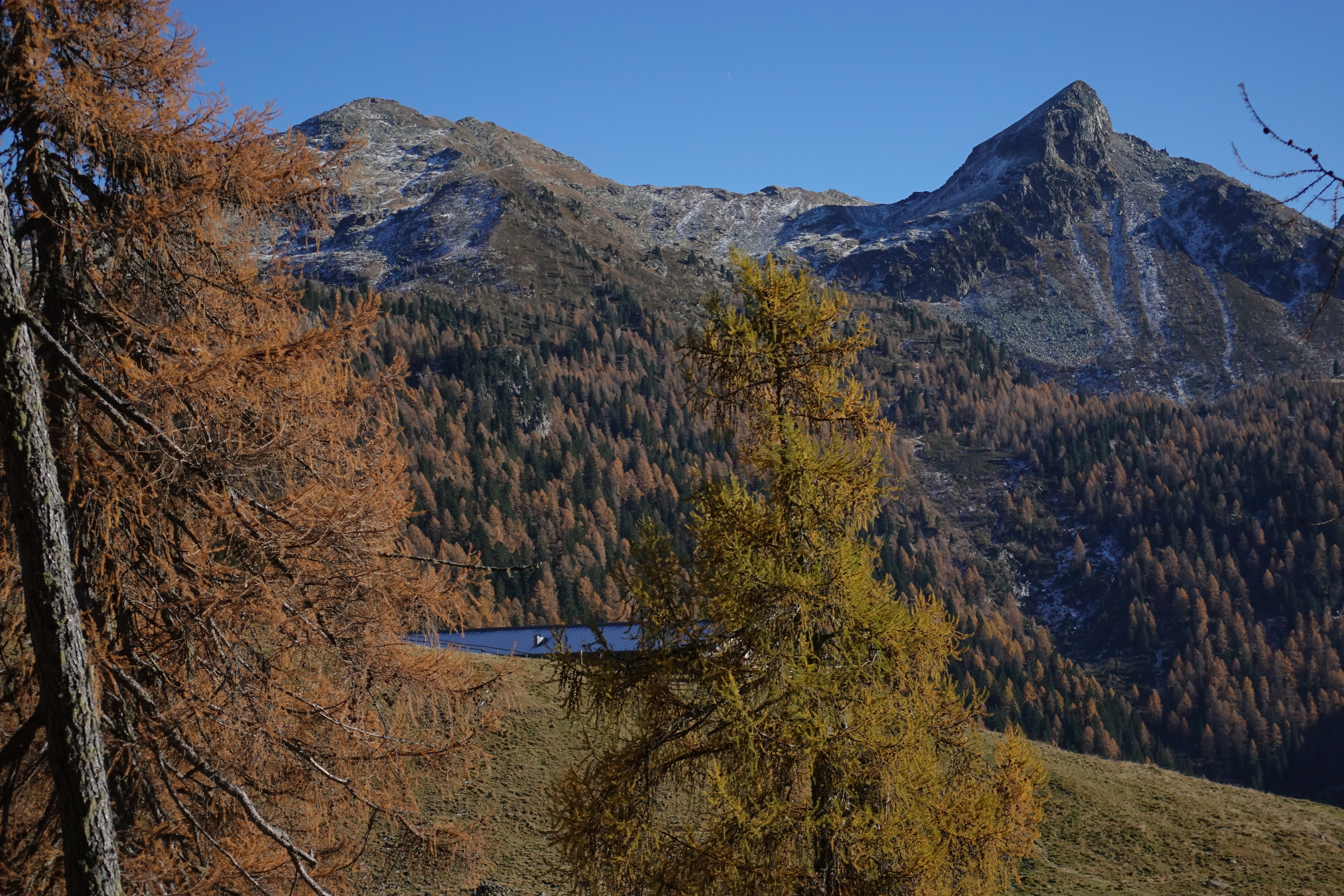
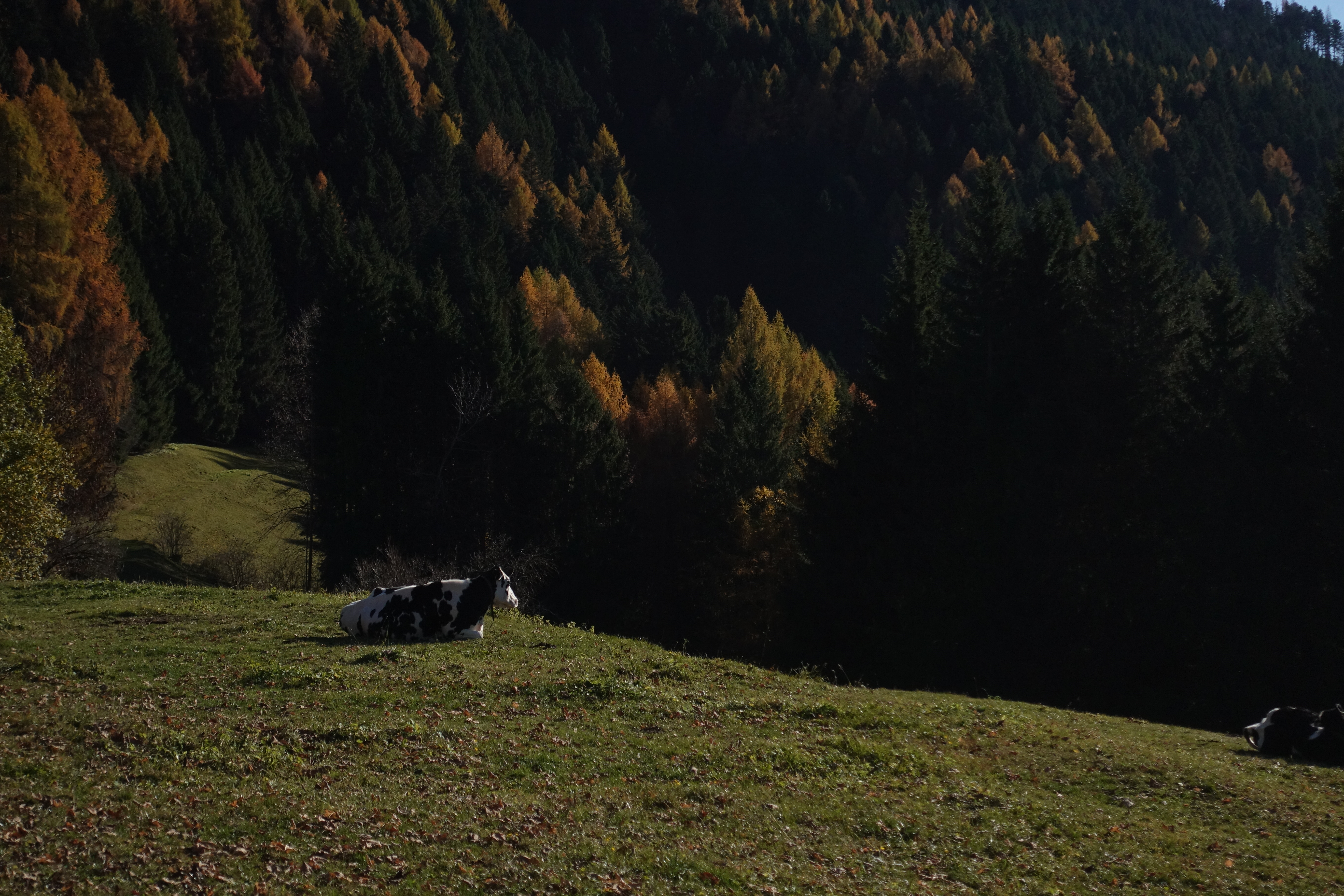
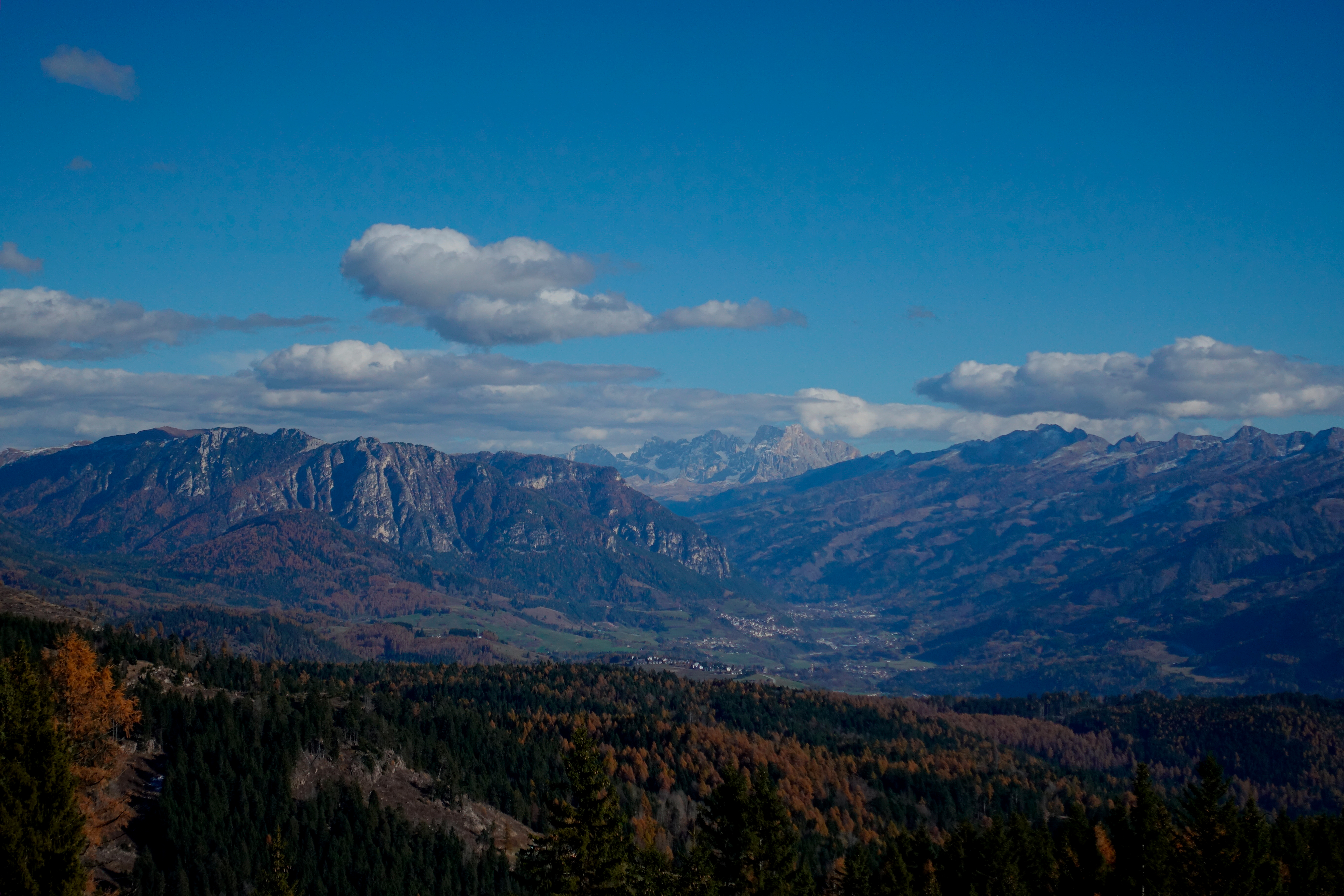
The Granlagorai Bike Adventure is a permanent bikepacking route born from the desire to showcase a mountain range we feel deeply connected to: the Lagorai. An austere, silent landform of dark volcanic rock, standing in contrast to the smoother shapes and shifting colors of the nearby Dolomites.
The Lagorai still holds a truly wild spirit: a rare, minimally inhabited wilderness that reflects a different way of living in and imagining the mountains. We believe that those who experience the mountains can do so with respect—without compromising the biodiversity or the identity of the places they pass through.
This route is built around a simple principle: freedom and respect. It’s a permanent track you can ride whenever you want, with whomever you want, and at the pace that feels right for you. It’s not a race. There are no rankings, no medals—just our wish that everyone who rides it reaches the end carrying their own personal story.
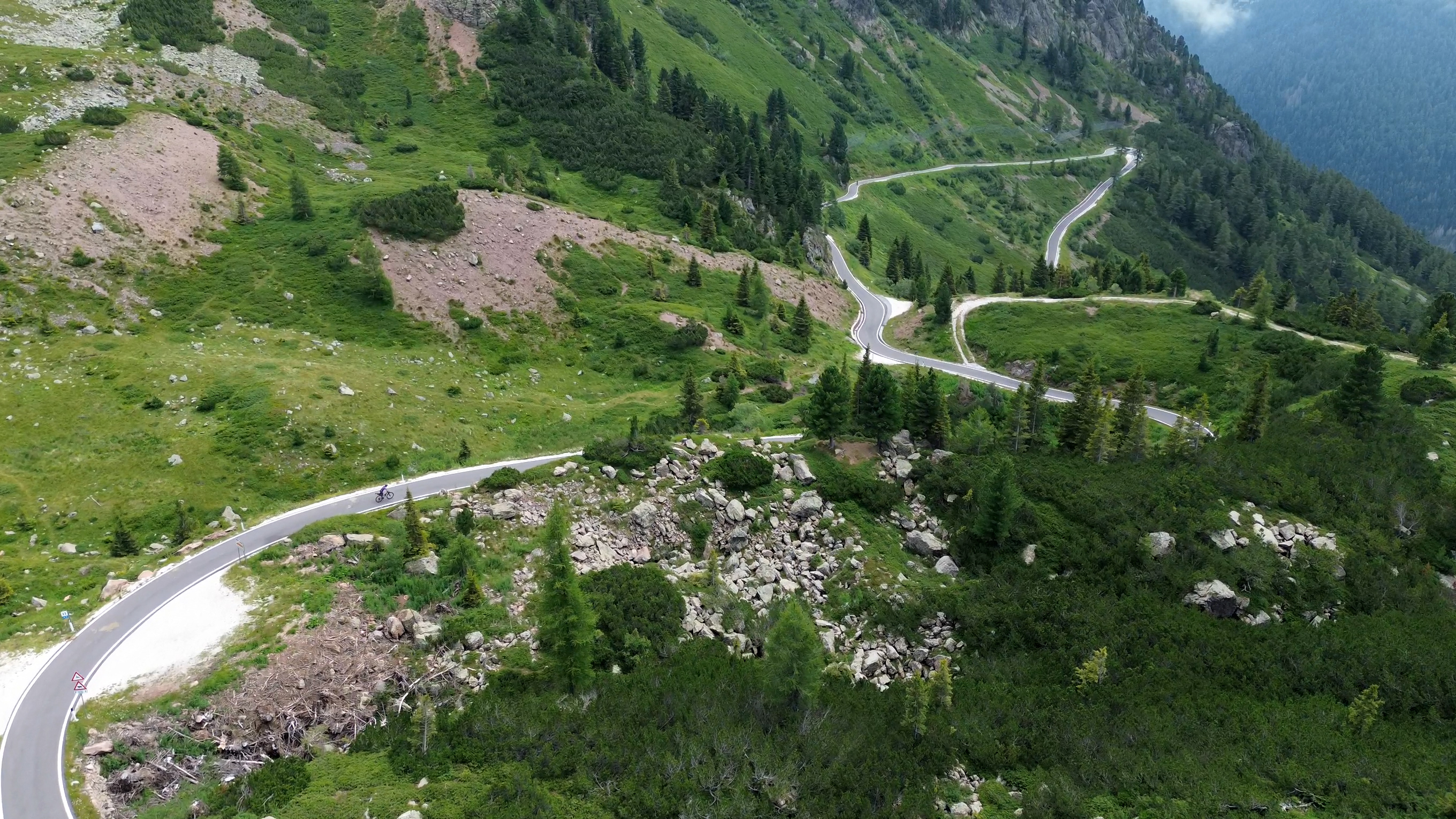
As you pedal along the route, you’ll discover the many faces of the Lagorai: gentle slopes giving way to rugged ridgelines, iconic passes such as Manghen and Rolle, and historic military roads that still guard the memory of the past.
Download the GPX file to load the route onto your device, or open the Komoot page for maps, elevation profiles, and detailed information about the route.
Explore the route in different formats: 2-day, 3-day, or 4-day options.
You can also check out these variations on our Komoot profile under the “Collections” section.
Swipe or use arrows to explore.
Starting in Trento, the permanent route leads across the Lagorai mountains. There’s no official event date: you ride self-supported, respecting the environment and Leave No Trace principles.
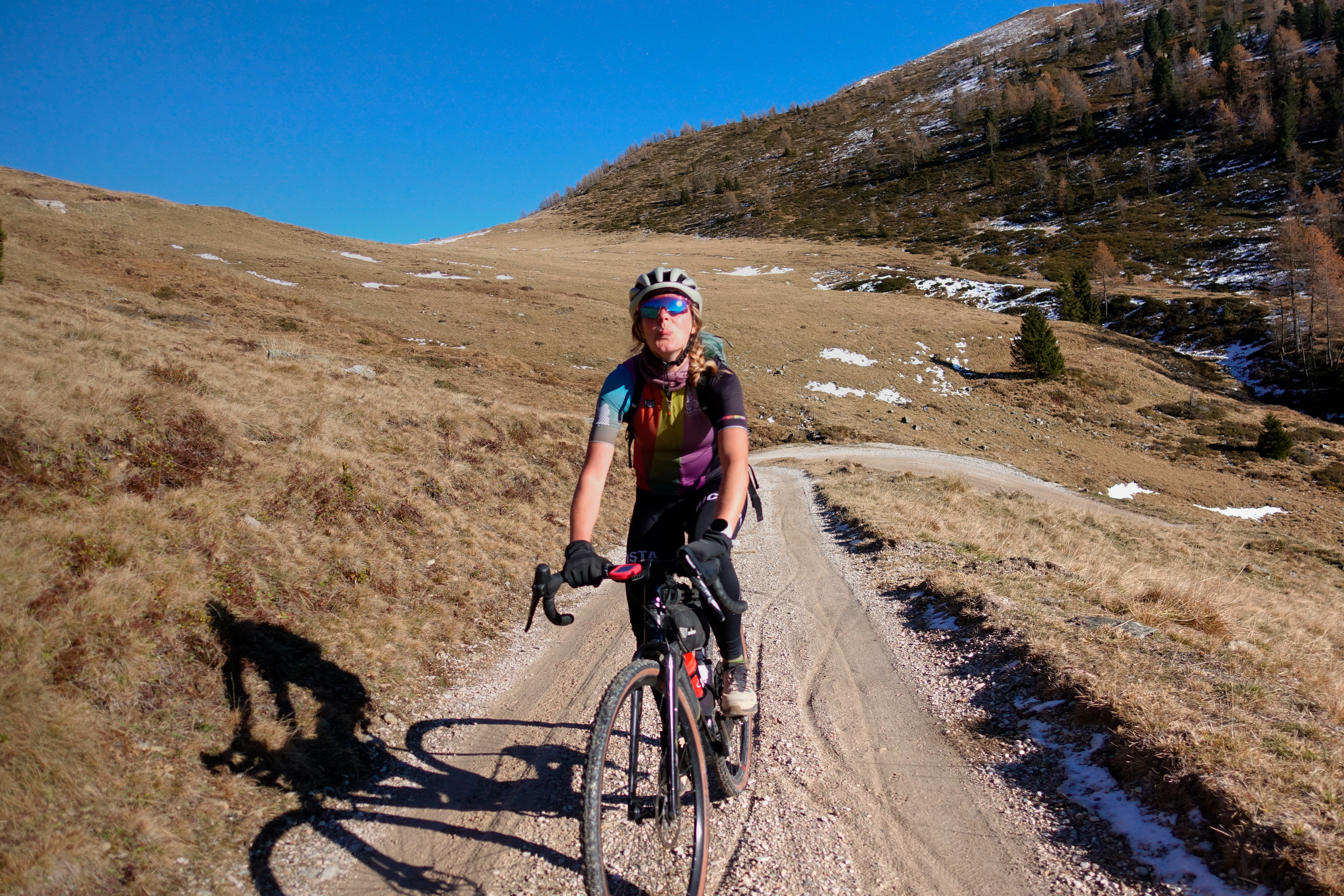
Recommended bike: a gravel with wide tire clearance (>45 mm) or a hardtail MTB. Don’t forget your helmet and lights! And for clothing, be prepared — mountain weather can change fast.
The route starts and ends in the heart of Trento. The starting point, about one kilometer from the railway station, is easily accessible by train. Trento station is also connected to Verona, a convenient hub for further connections to other destinations.
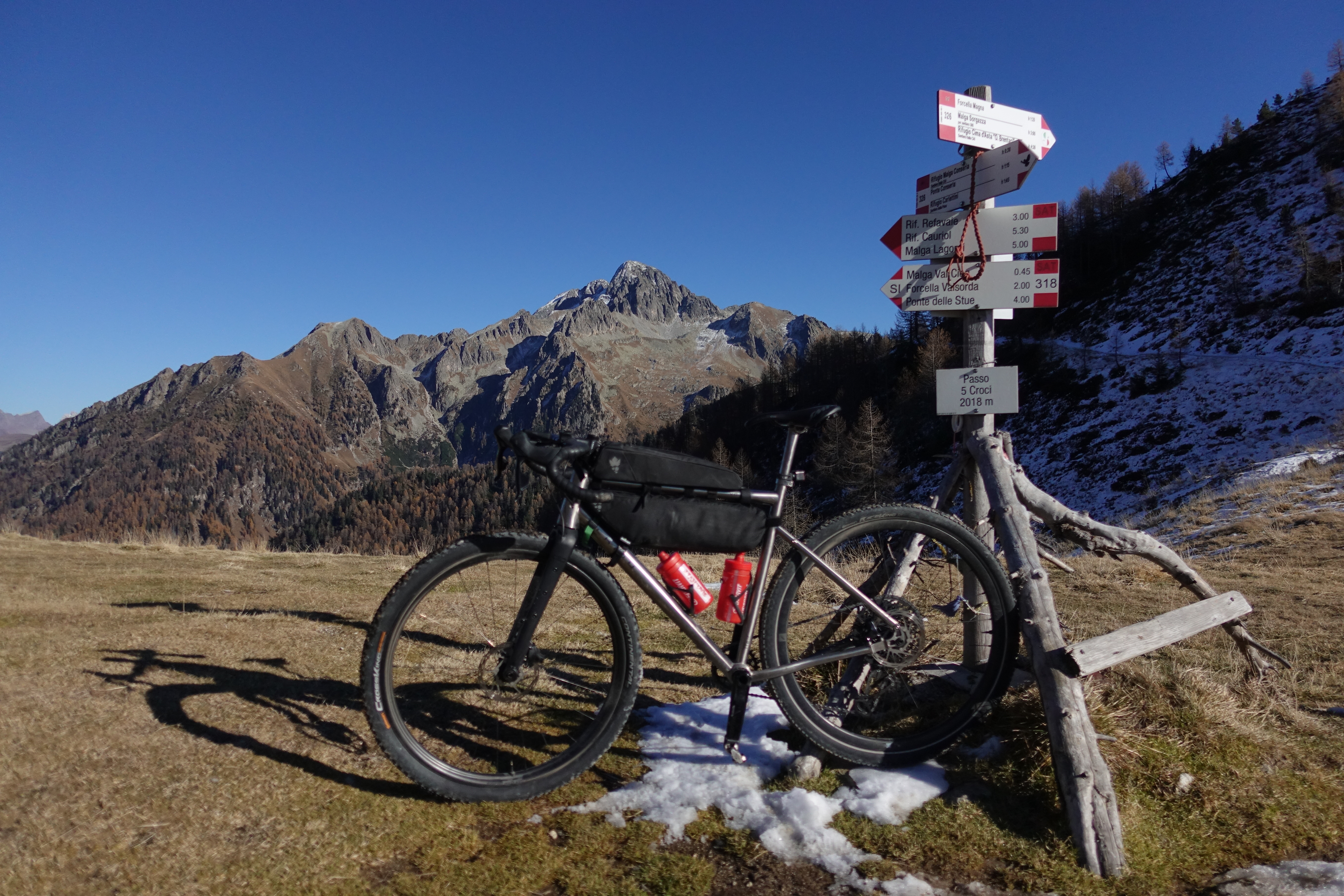
The route winds its way through several towns and mountain huts, offering plenty of opportunities to stock up along the way. You’ll also come across bivouacs, perfect for a night’s rest in the mountains. For detailed information and exact resupply points, check the Road Book.
For complete details, resupply points and stage suggestions, see the Road Book (PDF) .
No. It is designed to be ridden only in the proposed direction.
Absolutely! You can find our suggestions on our Komoot page .
No! The GPX and info are free to use, but remember: you must leave no trace
